
Driving directions from Grand Marais, Minnesota:
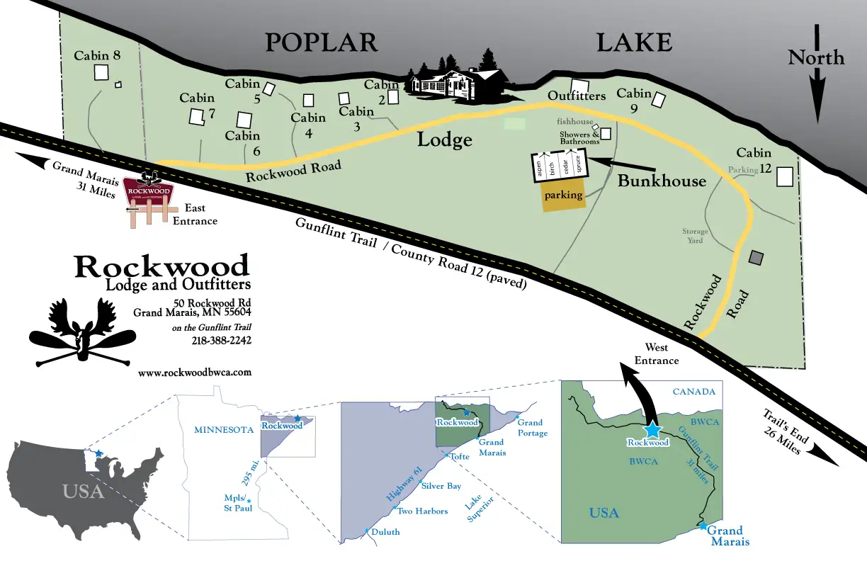
- We are located 31 miles from Grand Marais directly off of the Gunflint Trail.
- Turn off Highway 61 in Grand Marais onto the Gunflint Trail (county road 12) and travel for 31 miles watching for signs, two miles after Trail Center.
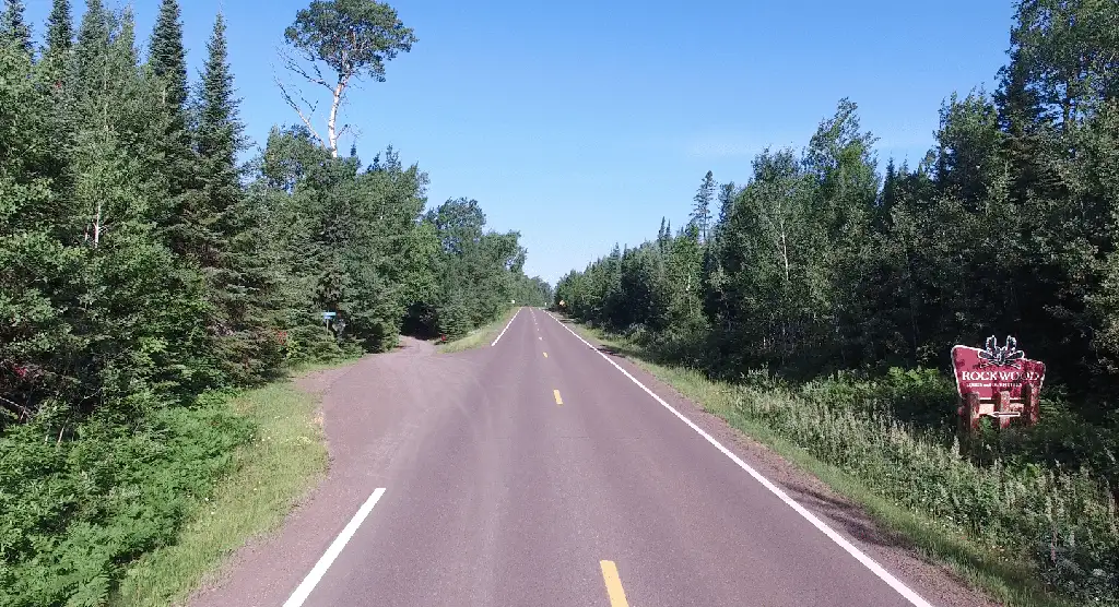
- Our sign is painted red (see photo on this page) and will be located on the right of the road, the turnoff into Rockwood will be on your left.

Email info@rockwoodbwca.com
Rockwood Lodge and Outfitters
50 Rockwood Rd
Grand Marais, MN 55604
(218) 388 – 2242
Airports: If you choose to travel by plane, the nearest main airport is Duluth, Minnesota. Grand Marais has a small, private plane airport.
Into Minneapolis: Most major airlines fly into Minneapolis airport. It is approximately 5.5-6hrs driving time, from the airport to Rockwood Lodge.
Into Duluth: The Duluth Airport is approximately 2.5 hours driving time to Rockwood.
What 3 words location: ///angle.undercover.doubts
Info on Rockwood Outfitters on BWCA.COM

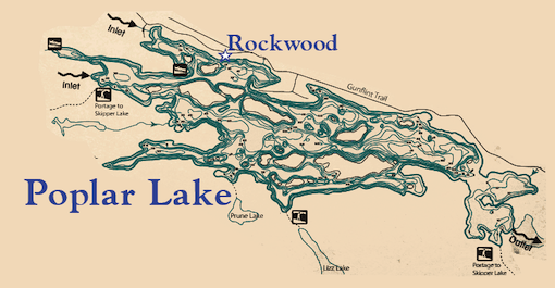
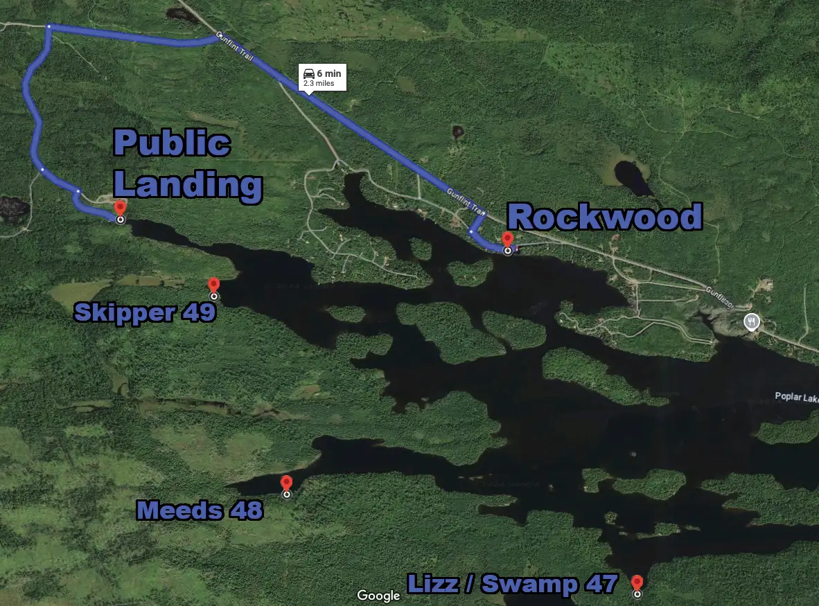
Entry Points map

